Skip to content

FOR ARCHITECTS & PLANNING CONSULTANTS

Your vision.
Ready for planning.

Planning statements that do your project justice.

Turn your site details into a clear, policy-referenced statement. In minutes, not days.

£95 per document. No subscription needed.
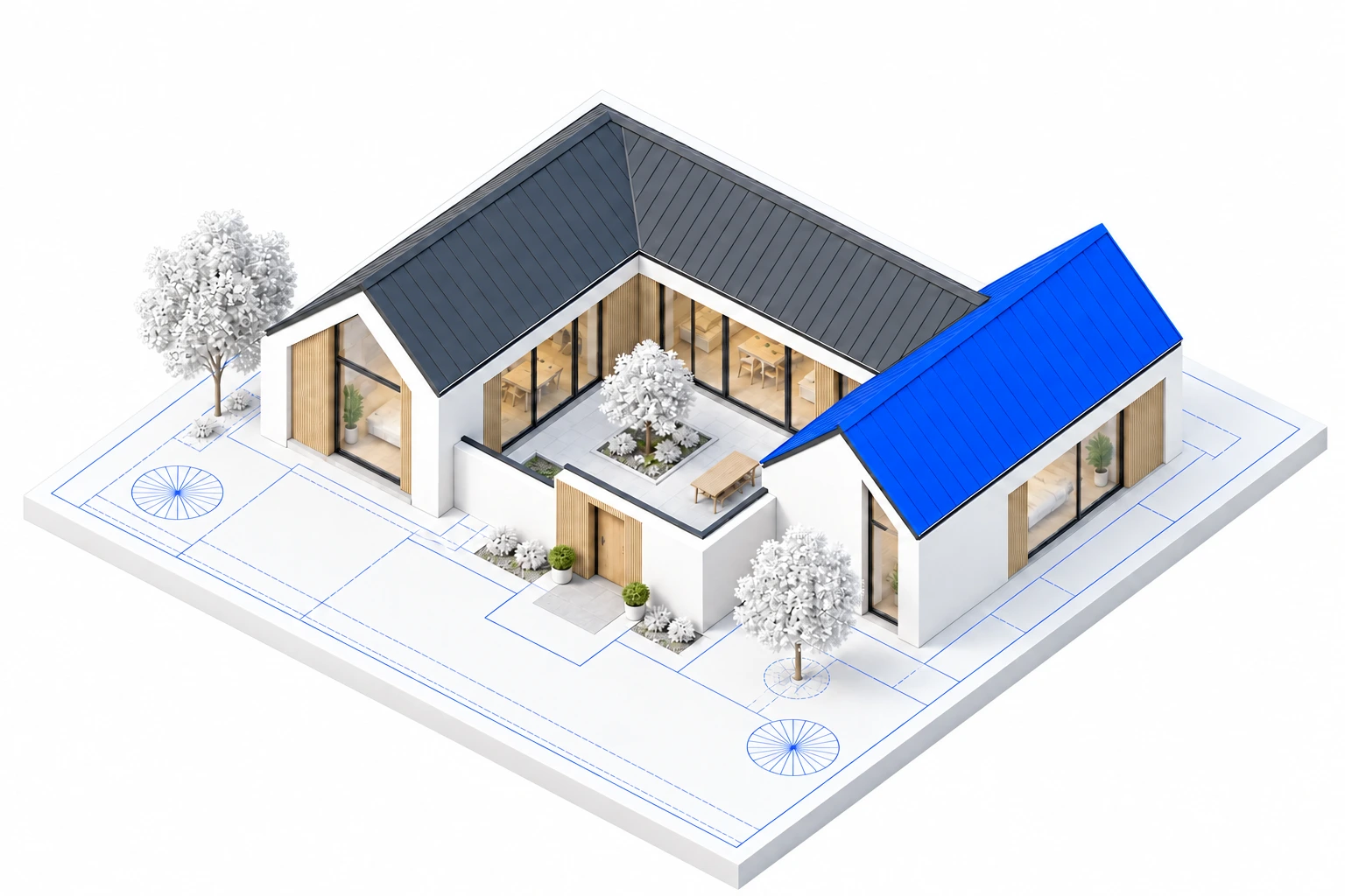
Architectural model of a courtyard house with grey and cobalt blue roofs
BuildwisePLANNING STATEMENT

Planning policy

Land to rear of 150 Barnhorn Road
Bexhill-on-Sea, East Sussex

Planning Policy Context

Development plan status: the development plan comprises the Rother Local Plan Core Strategy (2014) and the Rother Development and Site Allocations (DaSA) Local Plan (2019). Both are adopted and carry full weight in the determination of this application.

DIM2 — Development Boundaries. New development shall be "focused within defined settlement boundaries"; the site lies inside the Bexhill boundary on the adopted Policies Map, so the principle of a new dwelling here is supported by the spatial strategy, not an exception to it.

S4 — Principle of development within settlements (NPPF). Policy S3(1)(a) directs proposals within settlements to policy S4, under which development "should be approved unless the benefits of doing so would be substantially outweighed by any adverse effects". None of the S4(2) circumstances displaces that presumption here: the site is not allocated or safeguarded for another use in the development plan (S4(2)(a)(i)); it is not existing recreational land (HC7), no Local Green Space designation is recorded for it (HC8), no area of particular importance for biodiversity or geodiversity is recorded (N6), and it is not within a Protected Landscape (N4) — the site is confirmed as outside the AONB. The site is within the residential curtilage of No.150, so the application of L2(1)(d) falls to be considered under S4(2)(a)(ii); no substantial adverse impact arises from developing this curtilage land, because lawful built form and hardstanding already occupy it, the proposal is single-storey and screened from the street, and an Inspector has accepted backland residential development on the immediately abutting land. The site is not a cemetery, burial ground or land used for water storage or flood risk management (S4(2)(b)), and no national decision-making policy requires refusal in these circumstances (S4(2)(c)).

L2 — Making effective use of land (NPPF). L2(1)(b) directs substantial weight to the benefits of making better use of underutilised land and buildings; the scheme converts the existing 51m² outbuilding into part of a completed home and consolidates already-developed garden land into productive residential use.

L3 — Achieving appropriate densities (NPPF). L3(1) requires efficient land use having regard to securing well-designed places; for the reasons given in Design & Appearance, one dwelling is the yield this constrained backland plot can accommodate without repeating the harms that defeated the two-storey scheme.

OSS4 — General Development Considerations. The scheme meets the needs of future occupiers with accessible, step-free accommodation (OSS4(i)); causes no unreasonable harm to adjoining amenity for the elevation-by-elevation reasons given above (OSS4(ii)); respects the character of the locality through its low, screened, subservient form (OSS4(iii)); is compatible with the adjoining residential and care uses (OSS4(iv)); and is of a density appropriate to its context (OSS4(v)).

EN3 — Design Quality. The courtyard composition, contextual materials palette and legible contrast between converted and new elements demonstrate a robust design solution tested against the Key Design Principles, including design in context and architectural quality.

DHG3 — Residential Internal Space Standards. The 163m² gross internal area substantially exceeds the Nationally Described Space Standard minimum for a dwelling of this size and form, with bedroom sizes and storage addressed in the detailed design.

DHG4 — Accessible and Adaptable Homes. All dwellings are required to meet M4(2); the single-storey, level-access design is inherently suited to that standard and the applicant would accept a condition securing it.

DHG7 — External Residential Areas. The 198m² private south-facing garden and 32m² courtyard provide proportionate usable external space; the dimensioned layout will confirm garden depth against the 10m norm, parking and cycle storage are designed in from the outset, and integrated bin storage will be secured.

DHG11 — Boundary Treatments. The 1.8m rendered wall with planted hedging matches the height and domestic character of the existing close-boarded fencing, involves no loss of any structure of historic interest, sits away from the highway, and raises no highway safety issue.

DHG12 — Accesses and Drives. The new shared eastern crossover is acceptable in highway safety terms — the highway authority raised no objection to a larger iteration — replaces the existing arrangement, and is permeably surfaced in accordance with DEN5.

DEN4 — Biodiversity and Green Space. Native planting, bird and bat boxes, the green roof and the east boundary hedging corridor retain and enhance biodiversity appropriate to this suburban context.

DEN5 — Sustainable Drainage. Drainage is integral to the design: a net reduction in impermeable area, source control through permeable construction, green-roof attenuation, and maintenance arrangements to be secured by condition.

SRM1 — Towards a Low Carbon Future. The renewable and fabric-first package set out in the Sustainability section meets and exceeds prevailing energy efficiency standards, exactly as SRM1(ii) encourages; the scheme sits below the SRM1(i) threshold requiring a formal energy strategy.

Sample • Rother District Council02

The starting point for every statement.

Householder worksNew dwellings (up to 6)Conversions & change of usePermitted development checksFind your council

LOCAL POLICY.
YOUR COUNCIL, IN CONTEXT.

Explore all 11 councils

THE WORK BEHIND YOUR WORK

The detail is
the difference.

Your proposal has its own story. Your statement should too.

Buildwise brings together your site, your scheme and your council’s adopted local plan. So you can spend less time writing, and more time shaping what comes next.

01

Built around your site.

Ground levels, surroundings, constraints and the details that make your proposal distinct.

02

Grounded in local policy.

Your council’s adopted policies, referenced in the context of your application.

03

Made for your practice.

Review and edit online. Download your PDF or send it to your client with your own logo.

Start your statement
A REAL BUILDWISE DOCUMENTBarnhorn RoadDesign & Access Statement
Read full statement
BuildwiseSTATEMENT EXCERPT

Site & Surroundings

The application site comprises the rear (northern) portion of the plot of No.150 Barnhorn Road, on the north side of Barnhorn Road within the defined development boundary for Bexhill, as shown on the Council's adopted Policies Map (DaSA Policy DIM2). Barnhorn Road functions as a main arterial route served by regular bus services, placing the site in an accessible location for day-to-day needs without reliance on the private car.

Ground levels fall northward: the site sits approximately 1.2–1.3m lower than the host dwelling, a fall which provides natural physical separation between the existing house and the application site and which means any development here reads below the datum of the established frontage development.

The relationships to each adjoining property are as follows:

  • No.150 Barnhorn Road (host dwelling): a two-storey, four-bedroom detached house fronting Barnhorn Road, standing between the road and the application site. A separation of 37.5m exists between the host's nearest habitable window and the position of the proposed dwelling, in addition to the level change described above.
  • No.148 Barnhorn Road (care home, to the east): self-contained within its own curtilage with robust boundary treatment. An existing terrace on the site's east boundary sits at approximately 1.1m above the ground level of No.148 — an existing condition that the proposal improves upon, as set out below.
  • No.152 Barnhorn Road (residential, to the west): its rear garden terminates broadly in line with the proposed dwelling's frontage, so the site sits beyond the depth of No.152's private amenity space.
  • No.154 Barnhorn Road (care centre, to the west): a substantial care facility extending significantly to the rear, separated from the application site by a 1.5m strip.
  • Sandhurst Lane site (to the north): directly abuts the site's northern boundary. Permission in Principle for 2–6 dwellings was granted there on appeal, a decision addressed in the Planning History below.

Boundary treatments are established: a ranch fence to the north, and 1.8m close-boarded fencing to both the east and west boundaries. The site already carries lawful built development: a 51m² single-storey outbuilding erected under Class E permitted development rights, together with a driveway that has been substantially implemented following removal of the attached garage. Approximately 173m² of concrete driveway and a 20m² concrete slab remain from the existing arrangement; their removal and replacement forms part of this proposal.

Real generated statement · 29 Aug 2026Read provenance & review notes

A CLEARER WAY THROUGH

From postcode.
To polished.

One project. Three simple steps.
A lot less starting from scratch.

01

Place your project.

Add your site address. Buildwise detects planning constraints, including conservation areas, flood zones and listed buildings.

SITECONTEXTCONSTRAINTS
02

Bring your project together.

Upload your drawings, planning history and supporting documents. Drawing analysis helps suggest project details for you to check, then the questionnaire fills in the gaps.

DRAWINGSPLANNING HISTORYYOUR DETAILS
03

Make it your statement.

Review and edit the draft, then personalise it with your practice’s logo and branding. Download your statement or share it with your client.

REVIEWPERSONALISESHARE
More time for the work only you can do.Start your project

BEFORE THE PAPERWORK

Find your
way forward.

Not sure which route your project needs?
Start with a free check.

PERMITTED DEVELOPMENTFREE CHECK

Does it need
planning permission?

Check your proposal against permitted development rules. Understand your result, then generate an LDC or Prior Approval supporting statement where appropriate.

  • Extensions, loft conversions and outbuildings
  • Barn and commercial-to-residential conversions
  • Planning constraints detected from your postcode
Run a free PD check
AFTER A REFUSALFREE ROUTE CHECK

A refusal isn’t
the end of the road.

Upload your decision notice. The free Route Check explains your procedure, deadline, and whether an appeal or a fresh application fits your case.

When is an appeal statement available?

Where an appeal is right and your application was submitted before 1 April 2026, Buildwise builds a written-representations appeal statement from the material already before the council. Applications from 1 April 2026 onward follow the new 250-word Part 1 procedure, which takes no statement.

Check your route — free

Eligible pre-April 2026 appeal statements: £395. Later applications follow the free Part 1 procedure.

YOUR LOCAL PLAN MATTERS

Is your council
in the picture?

Check coverage before you start your project. We’re adding more local planning authorities—if yours isn’t listed, you can request it.

11 councils across the South East

Don’t see your council? Request your local planning authority.

YOUR NEXT PROJECT STARTS HERE

Ready to put your
plans into words?

Planning documents at £95 each. No subscription needed.
Monthly plans available for practices that generate regularly.

Not happy with your document? Tell us within 14 days for a full refund.

View guarantee terms